Sam Thiele

The earth is a complex, challenging planet. It is highly structured in many ways, unstructured in others, and largely hidden from view. As an earth scientist I enjoy the challenge of understanding and interpreting the earth systems and processes that shape this complexity.

I make geoscience digital, applying data science and computer simulation at their cutting edge to capture, synthesize and analyse diverse and multi-scale earth system data.

Things I'm interested in

Hyperspectral Remote Sensing

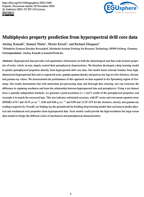
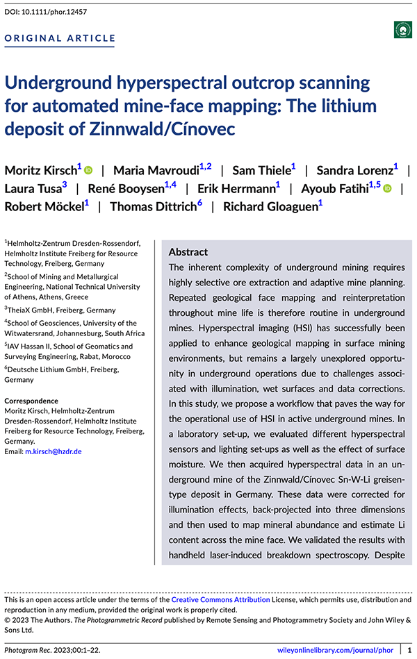
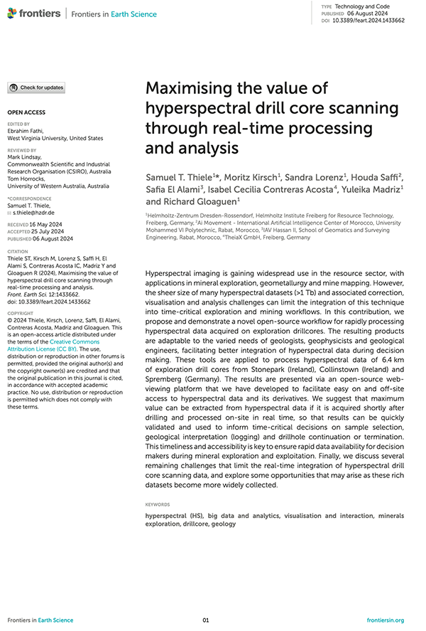
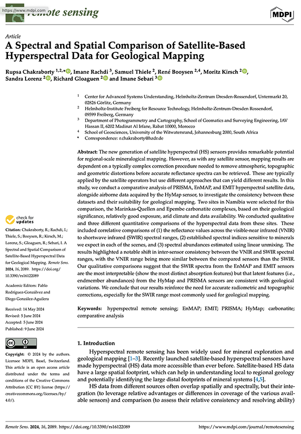
Hyperspectral sensors capture geological information at scales ranging from planets to minerals. As with any "big data", processing and corrections are a battle; but results can be very worthwhile!

Hyperspectral processing for geology Hyperspectral drones Illuminatino correction

UAV Remote Sensing

Drones allow earth observation at unprecedented resolution and accuracy. But, extracting meaningful information from these datasets, and so building scientific understanding, remains a significant challenge.

Review of UAV photogrammetry in structural geology Semi-automatic fracture mapping Drone mapping volcano

Volcanology

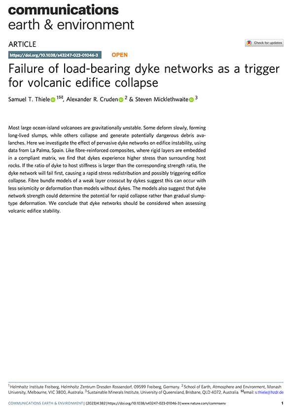
I did my PhD on the interactions between dykes, stress and volcano instability. Volcanoes are fascinatingly variable and unpredictable, an important reminder that even baby geology is intricate and complex.

thermal imaging of volcan de colima lava dome dyke thickness records volcano stress fracture mechanics of multiple-dykes

Structural Geology

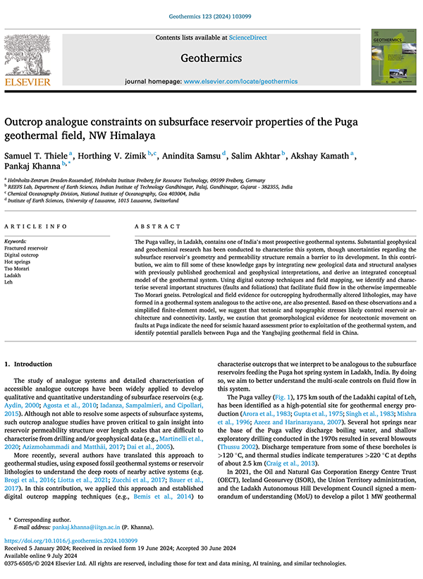
One of the oldest geoscience disciplines, structural geology is key to understanding rock failure and fluid flow in the earth. This helps predict earthquakes and landslides, find ore deposits and, soon, capture and store carbon underground.

sigmoidal vein formation Drone photogrammetry for structural geology Bayesian plane fitting for structural geology

3-D modelling and uncertainty

The earth is 3-D and mostly underground. This means the geometry of faults, ore-deposits and reservoirs must be inferred from sparse observations, requiring sophisticated statistical methods and creating significant uncertainty.

Topology of geology 1 Topology of geology 2 PyNoddy 3D modelling

Maybe I can help with

Bespoke data analysis

With a PhD in Geology and 15 years of programming experience I can leverage my domain knowledge and technical skills to help integrate diverse geoscience data and crack tough analysis problems.


Python R C++ Java

Exploration targeting

Data-driven exploration requires a fusion of big-data machine learning with the mineral systems paradigm. But, naive approaches tend to fail; expert domain knowledge is still critical to ensure meaningful results. I translate geoscience into data science to maximise success.

Gawler challenge winner

Data visualisation

Visualising multi-dimensional datasets is difficult but rewarding. I can use my graphics programming knowledge to design and build aesthetic visualisations that identify and communicate otherwise subtle information.


Blender CloudCompare OpenGL Matplotlib

GIS analysis and development

Mapping and GIS form an important part of all geosciences. I have extensive experience working with various GIS platforms, including the development of plugins for QGIS and ArcGIS.


Blender CloudCompare OpenGL Matplotlib

Web apps

Genesis

Genesis

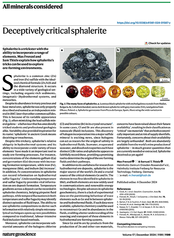
Easy paragenetic sequence diagrams

App1

iSpec

A hyperspectral search engine

Publications


ResearchGate
ResearchGate

ORCID iD
ORCID

Scopus
Scopus


Old school


Email
Email

Phone
Phone

Pigeon
Pigeon


Contact me using your preferred platform